Filter by area
Number of results:
Number of results: 47
, currently showing 1 to 20.
Hervenknappen
Address
Totenåsen
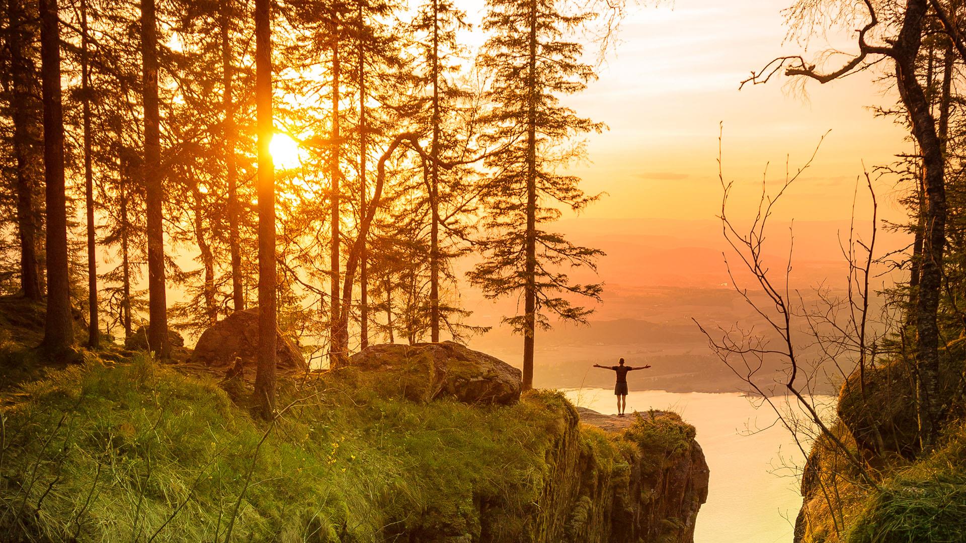
2848, SkreiaThe beautiful Hervenknappen peak is situated in the Totenåsen hills in Østre Toten, 784 metres above sea level. From the summit you can see vast…
Brandbukampen
Address
P.B. 87
2711, GranThis is a beautiful hike up to 522 meters above sea level where you get a stunning view over Hadeland and the lake Randsfjorden.
Drive Fv 34 from…Lauhøgda in Vestre Toten
Address
Rundt i Vestre Toten
2830, RaufossVestre Toten has plenty to offer hiking enthusiasts. If you walk to the top of Lauhøgda, the highest mountain in Vestre Toten, you will be rewarded…
Pilegrimssenter Granavollen
Address
Gamle Handelslaget, Granavollen 28
2750, GranSt. Olav Ways – the Pilgrim Paths to Trondheim After his death in the battle of Stiklestad in 1030, Olav Haraldsson became the patron saint of Norway…
Hike to Tuva - Ringssakerfjellet
Address
Sjusjøen
2612, SjusjøenWe are currently working on an english translation.
Elvelangs - Urban hiking along the river in Hønefoss
Address
3510, Hønefoss"Along the River" is the name of this charming path along the river of Hønefoss.
Peak hike to the fire tower at Skjellingshovde in Søndre Land
Address
Turen starter ved Øyvasselva. Se veibeskrivelse i teksten.
2863, *odnesPractical info - Level of difficulty: moderate - Length: approx. 6 kilometres return (3 km each way) - Season: spring / summer / autumn -…
5 short hiking trails from Gjøvik Train Station
Address
Jernbanetorvet 3
2821, GjøvikFrom Gjøvik Train Station you can attend 5 different short walks. The hiking trails are marked with signs.
This product is awaiting English…
Hiking to Bangsberget, Brumunddal
Address
Nesvegen
2380, BrumunddalInformation
Region: Ringsaker municipality, approx.5,5 km from Brumunddal city centre. Type: Hike on forrest paths, steep hilsides. Level of…
Hike across Hornsberget in Søndre Land
Address
Start: Hornslivegen
2866, EngerEnjoy the view from Hornsberget Drive along road 34 towards Grime. Turn towards Hornslien by the road barrier in Enger keep driving for about 4…
Easy hike along Ramberget near Gjøvik
Address
Start: Kollsvegen 43
2825, GjøvikEnjoy the view from Ramberget Ramberget located in the hills North of Gjøvik sports a magnificent view over Lake Mjøsa and Gjøvik town. This hike is…
Finnskogleden trail north
Address
Rotnebergsvegen 37
Finnskogen Natur og Kulturpark
2256, Grue FinnskogFinnskogleden is a 240 km long hiking trail which stretches in the south from Morokulien in Eidskog to Søre Osen in Trysil community.
Hiking around Risberget (5 or 11 kilometres)
Address
Kynnbrua
2436, Våler i SolørThis product is still waiting for the English translation. We apologize for this inconvenience and would like to wish you a great day! :)
Hiking to Tjuvåskampen
Address
Totenåsen
2848, SkreiaTjuvåskampen, 812 m above sea level, offers spectacular views of Toten and beyond. The entire peak hike takes approx. 2 hours incl. break. Route…
Hiking at Sjusjøen
Address
Sjusjøvegen
Sjusjøen
2612, SjusjøenWe are in the process of translating this site for you.
Experience Northern Finnskogen forest
Address
2438, GravbergetThis product is still waiting for the English translation. We apologize for this inconvenience and would like to wish you a great day! :)
Hiking in Finnskogen - Single day drips
Address
2436, Våler i SolørThis product is still waiting for the English translation. We apologize for this inconvenience and would like to wish you a great day! :)
Hjemmefronthytta på Totenåsen
Address
Torsæterkampen
2848, SkreiaThe home front cabin in Totenåsen The home front cabin was built in Skreia in the autumn of 1944 by the Norwegian resistance. It enjoys a lofty…
Easy hike to the stone carvings and Steinsholmen
Address
Start: ved Nessundet
2350, NES PÅ HEDMARKENAround the country's largest freshwater island, Helgøya in Mjøsa Spring offers a unique opportunity to follow the coastline around Helgøya and take…


